
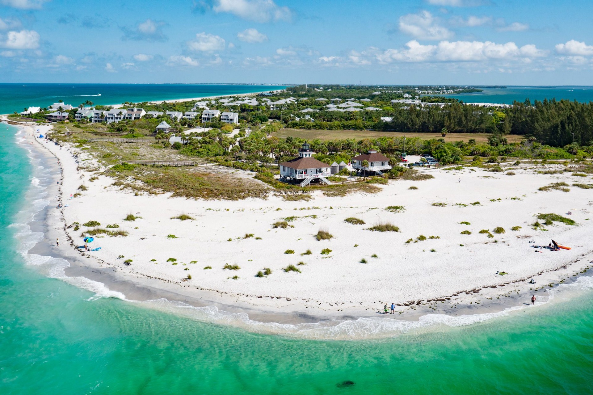
Water clarity and red tide conditions on Boca Grande change day to day, driven largely by wind direction, rainfall runoff, and season. Before a beach day, check Florida Fish and Wildlife's red tide status map (which posts recent water-sample results by site), the National Weather Service marine forecast for wind direction and speed, and NOAA tide tables. Calm mornings with offshore or light easterly wind usually mean the clearest water; sustained onshore wind after storms usually means murk. Because sample sites are scattered along the island and the mainland, one beach can be clear while another a few miles away is not — so it pays to have a second beach or a bay-side plan.
Every host family with homes near the Gulf learns the same lesson: the beach you saw in the listing photos is a beach on a good day. The water on Gasparilla Island is genuinely beautiful, and it is also genuinely variable. Some mornings you can stand waist-deep and count your toes. Other mornings the same spot is the color of weak tea because the wind has been pushing for two days straight.
None of that is a defect. It's a barrier island on the Gulf, and the Gulf moves. What helps families most is knowing where to look the night before and the morning of, so nobody hauls four kids, a wagon, and a cooler down to the sand only to turn around. This is the routine we walk guests through.
Why the water looks different from one day to the next
Three things do most of the work. Wind is the biggest. Sustained onshore wind stirs sand and sediment into the water column near shore, and the shallower the shelf, the more it stirs — the Gulf shelf here is very gradual, which is exactly why the wading is so kid-friendly and also why it clouds up so easily. Second is rainfall and runoff, which pushes darker, tannin-stained water out of Charlotte Harbor and the creeks toward the passes. Third is what's actually living in the water: algae blooms, including red tide, change both color and, at times, air quality along the shore.
Season stacks these together. Winter and early spring often bring calmer, cooler, clearer water and lighter rain. Summer brings warmth, afternoon storms, and more runoff. Late summer through fall is the window when red tide is most commonly reported along Southwest Florida, though it is not an annual guarantee and it does not affect the whole coast at once.
Check the wind the night before, check the sample map the morning of, and always have a second beach in your pocket.
What red tide actually is, in plain terms
Red tide along Florida's Gulf coast refers to a bloom of a naturally occurring single-celled alga called Karenia brevis. It occurs offshore in the Gulf and can be carried toward shore by currents and wind. At higher concentrations it can discolor water, cause fish kills, and release compounds that irritate the eyes, nose, and throat of people on the beach — the scratchy-throat, coughing feeling that people describe when a bloom is onshore. Effects are usually worse when onshore wind is blowing bloom-affected water and spray toward the beach, and often ease within a short distance inland or on a day the wind shifts.
It's worth saying clearly: red tide is not the same thing as murky water, and murky water is not evidence of red tide. Most cloudy days on Boca Grande are just wind and sediment, and the water is perfectly fine for wading. Conversely, a bloom can be present when the water still looks reasonably clear. That's why you check a sample map rather than judging by color from the parking lot.
The free sources worth checking before a beach day
You don't need a paid app. Everything families actually need is public and free, and it takes about four minutes to read all of it. Bookmark these on your phone before you travel so you're not searching from a beach parking lot with one bar of signal.
- FWC red tide status map (myfwc.com) — Florida Fish and Wildlife posts current red tide sampling results by location, with concentrations shown at individual sample sites and updated on a regular schedule. This is the primary source. Look for sample dots near Gasparilla Island and Charlotte Harbor specifically, not just "Southwest Florida" as a region.
- Florida Department of Health county advisories — issued for beach water quality, including bacteria-related swim advisories, which are a separate issue from red tide and worth a glance after heavy rain.
- National Weather Service marine and coastal forecast (weather.gov) — read wind direction and speed for the next 24–48 hours. This is the single best predictor of clarity for an ordinary, no-bloom day.
- NOAA tide predictions — knowing whether you're arriving on a rising or falling tide changes shelling, wading depth, and how far you'll walk from the car.
- Beach condition reports from Gulf coast research programs — several regional monitoring efforts publish short daily observer notes on water color, dead fish, and respiratory irritation at specific beaches, which fill the gap between scheduled water samples.
How to read wind direction like a local
Gasparilla Island's beaches face roughly west and southwest into the Gulf. That geometry gives you a simple mental model. Wind coming off the land — from the east or northeast — tends to flatten the Gulf surface and leave the water clearer and calmer near shore. Wind coming in off the water — from the west or southwest — pushes waves onto the shelf, stirs sediment, and produces the milky green-brown look. Sustained wind matters more than a single gusty hour; two days of steady onshore wind will cloud things up more than one blustery afternoon.
The practical version: light and variable, or easterly, in the early morning is your best window almost any time of year. That's also when parking is easiest and the light is best for photos. We tell guests staying at Seaside Boca to plan the beach for the first half of the day and save the pool, the bikes, or the village for the afternoon, particularly in summer when storms build inland after lunch.
What to do when one beach is murky and another is fine
This happens more often than people expect, because passes, points, and structures change how water moves over short distances. A stretch near a pass can be moving and stained while a stretch a couple of miles up the island is calm and clear, or the reverse. Rather than declaring the day a loss, work through options in order.
- Move along the island. Try a different public access point a mile or two north or south before you give up — conditions genuinely differ between the pass end and the middle of the island.
- Switch sides. The bay and harbor side is a different body of water with different exposure. It's often calmer for small children even when the Gulf side is churning, and it's good for wading, fishing off a dock, and watching boats.
- Change the activity, not the location. Murky water is still fine for shelling, sand play, kite flying, and beachcombing. Shelling can actually be better after a windy stretch because more material gets pushed up onto the beach.
- Go inland. The bike path, the lighthouse and park areas, the village, and the local ice cream stop are all short rides and hold up fine on an unappealing water day.
- Reset for the next morning. If wind is forecast to drop or shift east overnight, tomorrow at 8 a.m. will likely look nothing like today at 2 p.m.
If your family is planning around the water specifically, it helps to know the seasonal patterns going in. We break those down month by month in our season-by-season guide to visiting Boca Grande, and the park itself — with its beach accesses spread along the south end of the island — is covered in our Gasparilla Island State Park family guide.
Kids, older relatives, and anyone with breathing sensitivities
If a bloom is being reported near the island, the people who feel it first are usually young children, older adults, and anyone with asthma or another respiratory condition. The reasonable approach is not to panic and not to ignore it. Check the sample results and any current health advisories, and if irritation is being reported at that beach, choose an inland activity or a different day rather than testing it with a toddler.
Also use your own senses when you arrive. If you step out of the car and several people on the beach are coughing, or you see a noticeable number of dead fish along the wrack line, that's real-time information that beats any map. Turn around, and try the bay side or come back the next morning. And regardless of clarity, the ordinary Gulf hazards still apply — we cover currents, sandbars, and swim positioning in our family beach safety field guide.
A simple routine you can actually keep
Families do not need a research protocol on vacation. What works is a short habit repeated each evening and each morning, done in the time it takes coffee to brew.
| When | What to check | What you're deciding |
|---|---|---|
| Night before | NWS wind forecast + tides | Whether tomorrow morning is a beach morning, and what time |
| Morning of | FWC red tide map + any health advisory | Whether to go at all, and which end of the island |
| On arrival | Your own eyes, nose, and the wrack line | Whether to stay, move up the beach, or switch to the bay side |
Do that for a week and you'll start predicting it yourself. Guests who stay with us more than once tend to stop asking after the second visit — they've learned that an easterly breeze and an early alarm solve most of it, and that a windy afternoon is simply a bike-and-ice-cream afternoon instead.
Boca Grande Water Conditions: Common Family Questions
Is Boca Grande water usually clear?
Often, yes — especially on calm mornings with light or easterly wind, and more consistently in the cooler, drier months. But clarity is genuinely variable and driven mostly by recent wind and rainfall. Plan mornings for the beach and treat afternoons as flexible, particularly in summer.
How do I check for red tide near Boca Grande?
Use the Florida Fish and Wildlife Conservation Commission's red tide status map, which posts results from water samples taken at specific coastal sites. Look at sample points near Gasparilla Island and Charlotte Harbor rather than judging by a broad regional label. Pair that with any current Florida Department of Health beach advisories.
Does murky water mean red tide?
No. Most cloudy days on this coast are just wind-stirred sediment on a shallow shelf, or tannin-stained runoff after rain, and the water is fine for wading. Red tide is a specific algal bloom that requires water sampling to confirm — which is why you check the map instead of the water color.
What time of year is red tide most likely in Southwest Florida?
Blooms are most commonly reported from late summer into fall along the Southwest Florida coast, though they do not occur every year, do not affect the entire coast at once, and can persist or appear outside that window. Because it varies, check current sampling results rather than assuming a given month is safe or unsafe.
What can we do with kids if the Gulf side looks bad?
Try a different beach access a mile or two along the island first, since conditions change over short distances. If the whole Gulf side is stirred up, switch to the calmer bay and harbor side for wading and dock time, or move inland to the bike path, the lighthouse area, and the village. Shelling is often better right after a windy stretch.
Should we cancel a trip because of red tide reports?
Rarely. Blooms are patchy and can shift or clear within days, and a report elsewhere on the coast may not affect Gasparilla Island at all. Monitor the sampling map as your dates approach, keep inland and bay-side plans ready, and make a call closer to arrival.

Travel DRD - Free Land Vacations — IATA certified, IATAN and ASTA members, hosting families since 2007. We manage every home in this collection ourselves.
Last updated: September 1, 2026